Strútsfoss (N64°54.194-W15°02.314) // 2 hrs.
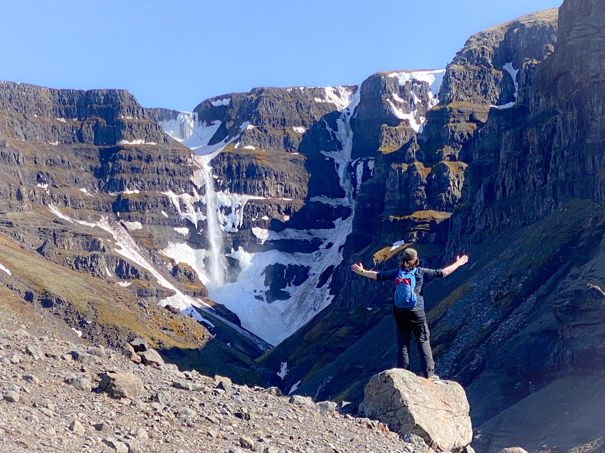
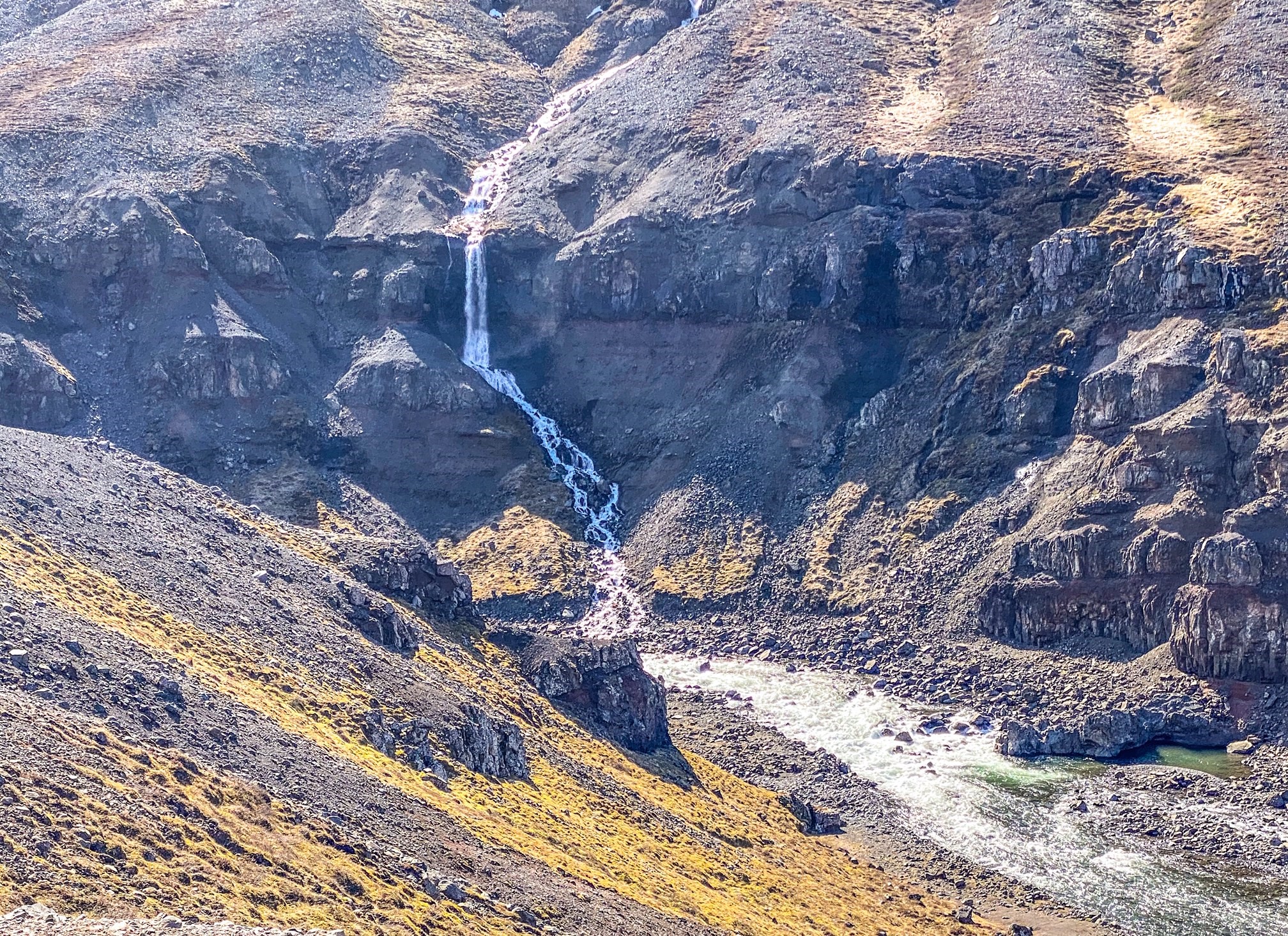
Strútsfoss is one of Egilsstaðir’s Pearls, which refers to 30 stunning hiking trails in the region surrounding Egilsstaðir. It is one of the highest waterfalls in Iceland and is separated in two. The upper part is approx. 100 meters high and the lower approx.. 20 meters high. The canyon is extremely colorful with basalt lava and thick red and brown sediments.
Start this beautiful hike from Sturluflöt which is the innermost farm in Suðurdalur, east of Kelduá river. Walk along the banks of Fellsá river on the east side of Villingadalur valley. The waterfall is hidden quite far in the valley and can’t be seen until one has hiked quite far into it. Strútsgil creek leads visitors straight to this stunning waterfall which is on the list of nature reserves. Be aware that to get close to the waterfall one needs to cross the river several times and that needs to be done with caution. A short distance from Strútsfoss the river forms a series of waterfalls which are also very beautiful.
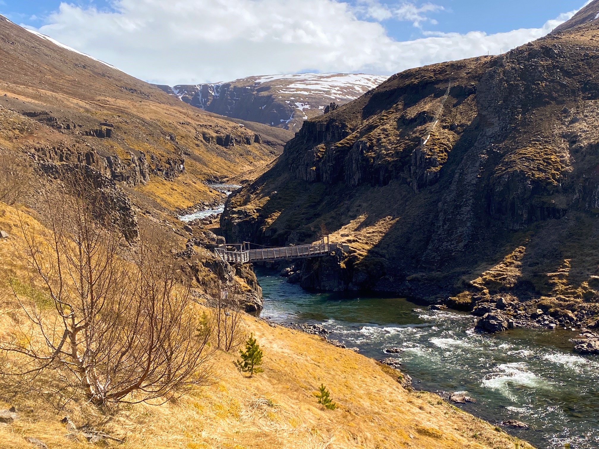
One can also cross the river via a bridge on Strútsá river. You can not get to the waterfall except by going into the creek and crossing the river a few times which can be treacherous. Strútsfoss waterfall is on the list of nature reserves. The cylinder with visitors’ log and a stamp is to be found up by Strútsgil creek.
A fairly easy walk of two hours.


ADDITIONAL INFO

Tel: 4700750
Email: info@visitegilsstadir.is
