Þerribjarg (Therribjarg) (N65°45.336-W14°20.990) // Difficult // 5 – 6 hrs
Þerribjarg is one of the 30 Pearls of Egilsstaðir region and refers to some of the most stunning hikes of the area.
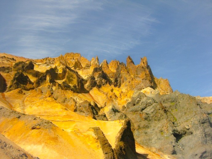
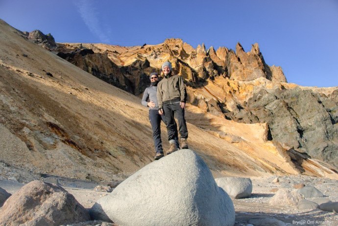
Drive the main road up Hellisheiði mountain and when you’ve reached where you are about the highest part, take a trail to the right. There is a sign where you can park your car and start the hike. The trail is staked to the edge of the cliffs above Múlahöfn harbour. From there (65°45.144 – W14°21.964) lies a trail below the edge, down a rocky slope to Múlahöfn, one of natures’ masterpieces surrounded by cliffs and huge pillars of rock on two sides.
This harbour was declared an official trading harbour in 1890 but was only used once as such because of the extreme difficulties of further transport. From the harbour, walk north to the outer point.
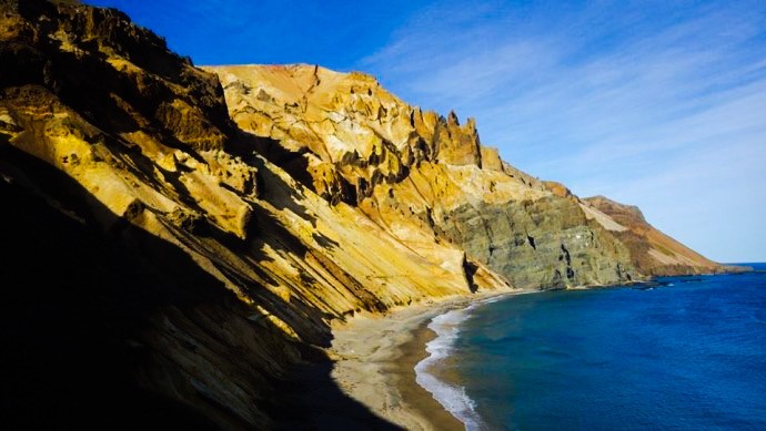
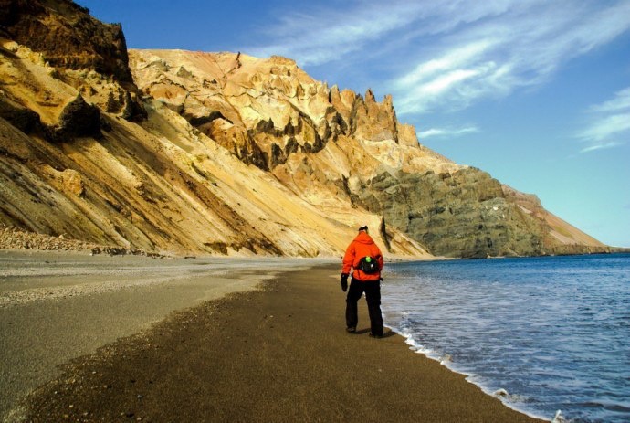
From there one can see Þerribjarg and Langisandur shore. The cylinder with the visitors’ log and stamp is by the trail leading down to the beach.
Hikers are encouraged to go down and walk along the sand under Þerribjarg cliffs before turning back.
ADDITIONAL INFO
Tel: 4700750
Email: info@visitegilsstadir.is