Hafrahvammar / Dimmugljufur canyon (N64°99.252-W15°71.683)
Hafrahvammar is one of the 30 Pearls of Egilsstaðir region and refers to some of the most stunning hikes of the area.
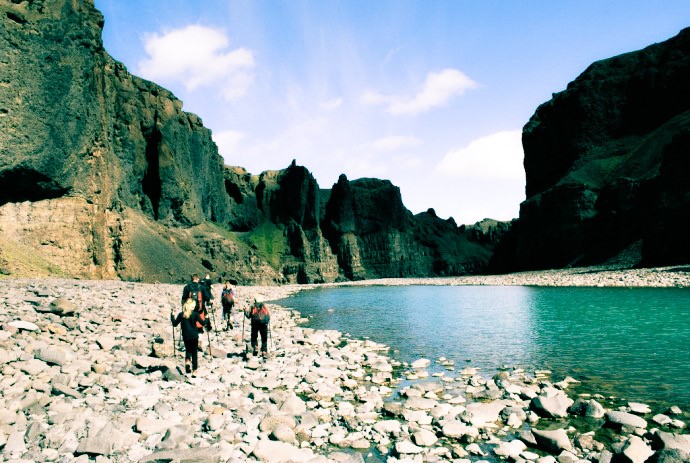
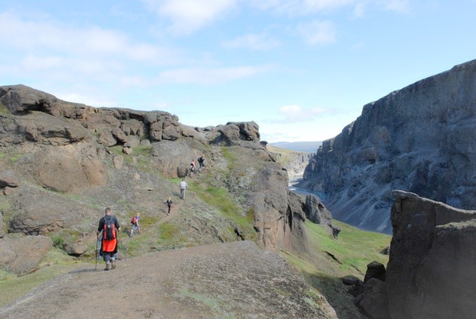
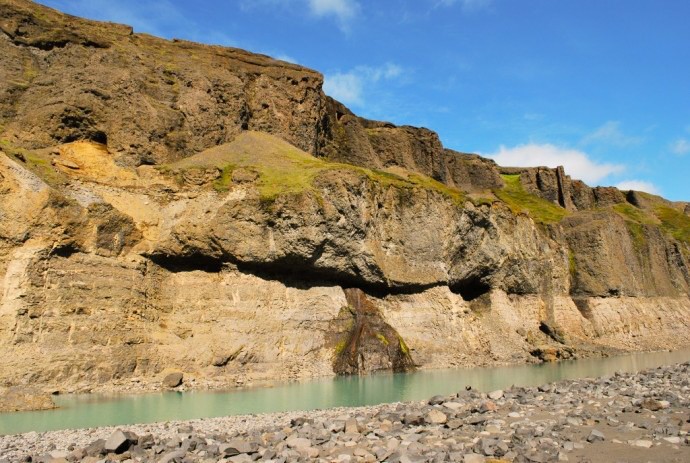
Drive north of the dam of Kárahnjúkar reservoir along a gravel road fit for SUV’s to the crossroads by Laugavellir. Drive downhill to a parking area by Dimmugljúfur canyon. There you will find a sign containing information and the trail running through Hafrahvammar canyon. The impressive canyon stretches about seven to eight kilometers from the northern part of Vatnajökull icecap towards the valley Jökuldalur (Glacier Valley). With its 200 meter high walls and only about hundred to hundred and fifty meters width they seem narrow and intimidating as everything is dark and steep. It is believed that the river Jökulsá á Dal, which was the second most powerful river in Iceland, dug the canyon over millions of years through the palagonite layer and formed the canyon. In the cacnyon you will find a small cave, Magnahellir, which lies in about 1,5 km. distance. The name of the cave gets its name from a farmer named Magni from the farm Eiríksstaðir who used to keep his sheep there in winter.
ADDITIONAL INFO
Tel: 4700750
Email: info@visitegilsstadir.is