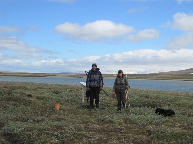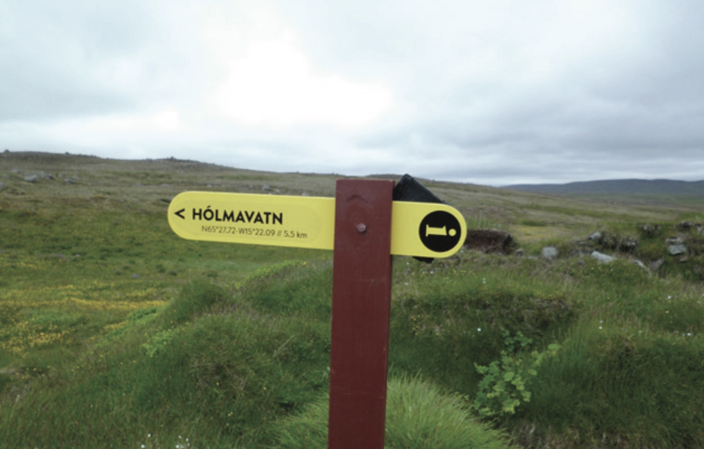
Hólmavatn (N65°27.72-W15°22.09)
Hólmavatn was established at an elevation of 522 m in the Vatnaflói wetlands, on the western side of Langhólmavatn lake. The land was taken in 1861 from Skjöldólfsstaðir estate in the northeastern part of Jökuldalsheiði, a part called Tunguheiði. Hólmavatn was only inhabited for one year. The residents were Kristbjörg Guðlaugsdóttir, sister of the Jón who settled Ármótasel; an Jóhannes, son of the farmer Friðrik Árnason at Foss.

ADDITIONAL INFO

Ferðafélag Fljótsdalshéraðs – Tjarnarási 8 – 700 Egilsstaðir – (Pósthólf 154)
Tel: +354 863 5813
Website: www.ferdaf.is
Email: ferdaf@ferdaf.is
Email: info@visitegilsstadir.is
