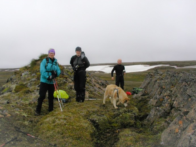
Spanarhóll (N65°15.588-W14°41.446) // 5 hrs.
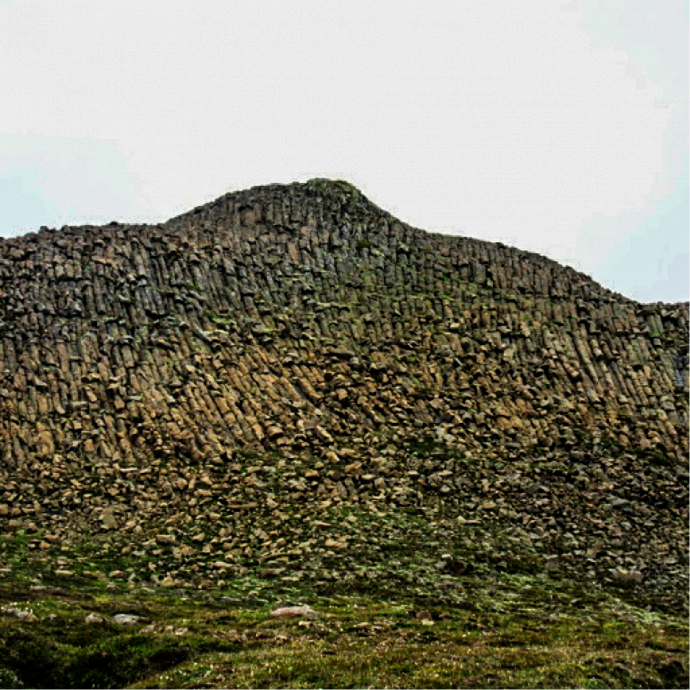
Spanarhóll is one of Egilsstaðir’s Pearls, which refers to 30 stunning hiking trails in the region surrounding Egilsstaðir. The phenomenon are four hills that form about 30 meters long series from north to south. The direction of the slope and the shape indicate that they were formed in an eruption under glacier. The tallest and most spectalur one is 25 meters high and that is the one named Spanarhóll. All of the hills are formed with basalt columns. This amazing site is located in the north end of Fjórðungsháls, 591 m high. You drive to the south up Fell to the farm Refsmýri. From there you walk to Hlíðarsel and onwards up the canyon above the ruins up on Fjórðungur on the Fell heath. From there the way to Spanarhóll is easily hiked.
The cylinder is on top of the biggest hill. At the hill, lore has it that there is presence of elves or hidden people.
ADDITIONAL INFO
Tel: 4700750
Email: info@visitegilsstadir.is
